


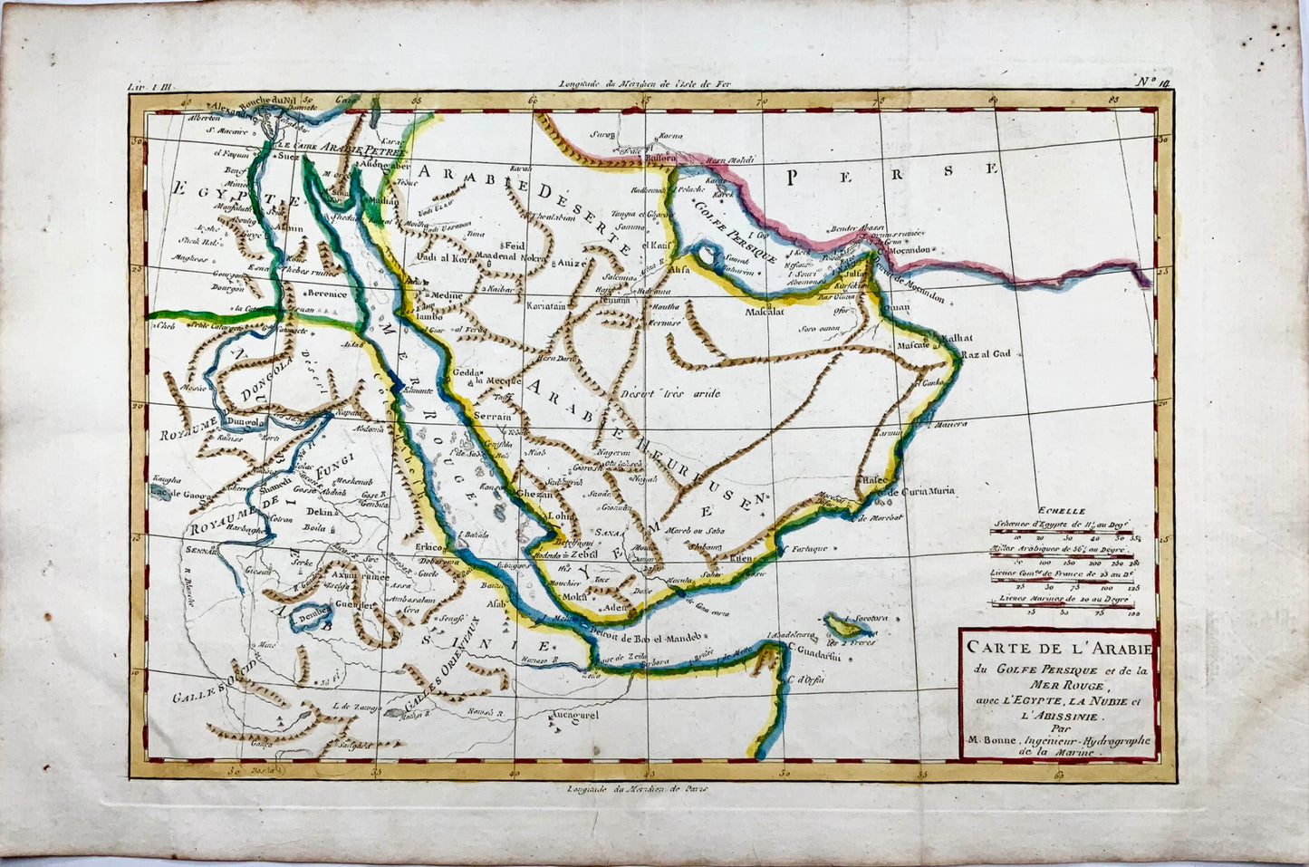
1780 Bonne, map of Middle East, Persia, Red Sea, Egypt, Nubia hand coloured
1780 Bonne, map of Middle East, Persia, Red Sea, Egypt, Nubia hand coloured
Couldn't load pickup availability
Rigobert Bonne.
Carte de L'Arabia du Golfe Persique et de la Mer Rouge, avec l’Egypte, la Nubia et l’Abissinie
From Bonne's Atlas de toutes les parties connues du Globe Terrestre. Paris, 1780.
Measures approx. 210 x 320 mm.
Engraving.
Rigobert Bonne was the Royal Hydrographer of France, so his primary interest was in marine charts. However, with his Royal connections and access to the cartographic documents in Paris, Bonne was able to compile maps containing some of the most up-to-date information of his time. This map was issued just at the end of the American Revolution. Bonne had good information to show towns, rivers, forts and other features. Detail is clearly presented, and fascinating to study. This is a fine map of North America from the very beginning of our country's history.
Very good condition. Light age toning and minor stain to outer margin.
Share


Subscribe to our emails
Subscribe to our mailing list for insider news, product launches, and more.