


1780 Bonne - Antique Map Carte Des Isles Canaries Canary Islands - Handcoloured
1780 Bonne - Antique Map Carte Des Isles Canaries Canary Islands - Handcoloured
Couldn't load pickup availability
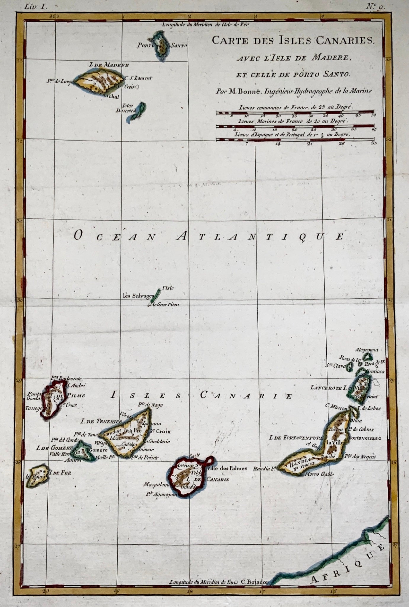
An original Antique Map by Rigobert Bonne & Guillaume Thomas Raynal.
'Carte Des Isles Canaries '
39.5 x 26.2 cm
A fine example of Rigobert Bonne and G. Raynal’s 1780 map.
A fine example of Rigobert Bonne and G. Raynal's 1780 map of the Canary Islands. Shows entire chain along with the Madeira and Porto Santo Islands in the North. Offers relatively good detail, showing towns, rivers, some topographical features, ports and political boundaries.
Drawn by R. Bonne for G. Raynal’s Atlas de Toutes les Parties Connues du Globe Terrestre, Dressé pour l'Histoire Philosophique et Politique des Établissemens et du Commerce des Européens dans les Deux Indes .
Share


Subscribe to our emails
Subscribe to our mailing list for insider news, product launches, and more.