1
/
de
3
1776 A. Krevelt, Bellin, Carte de St. Cristophle, St. Kitts, map
Prix habituel
CHF 118.00
Prix habituel
Prix promotionnel
CHF 118.00
Prix unitaire
/
par
Taxes incluses.
Frais d'expédition calculés à l'étape de paiement.
Impossible de charger la disponibilité du service de retrait
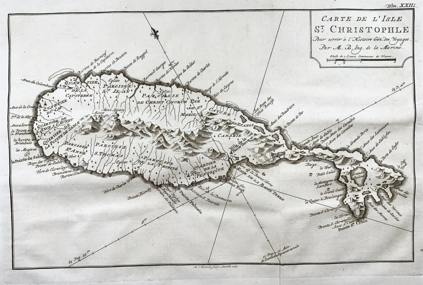
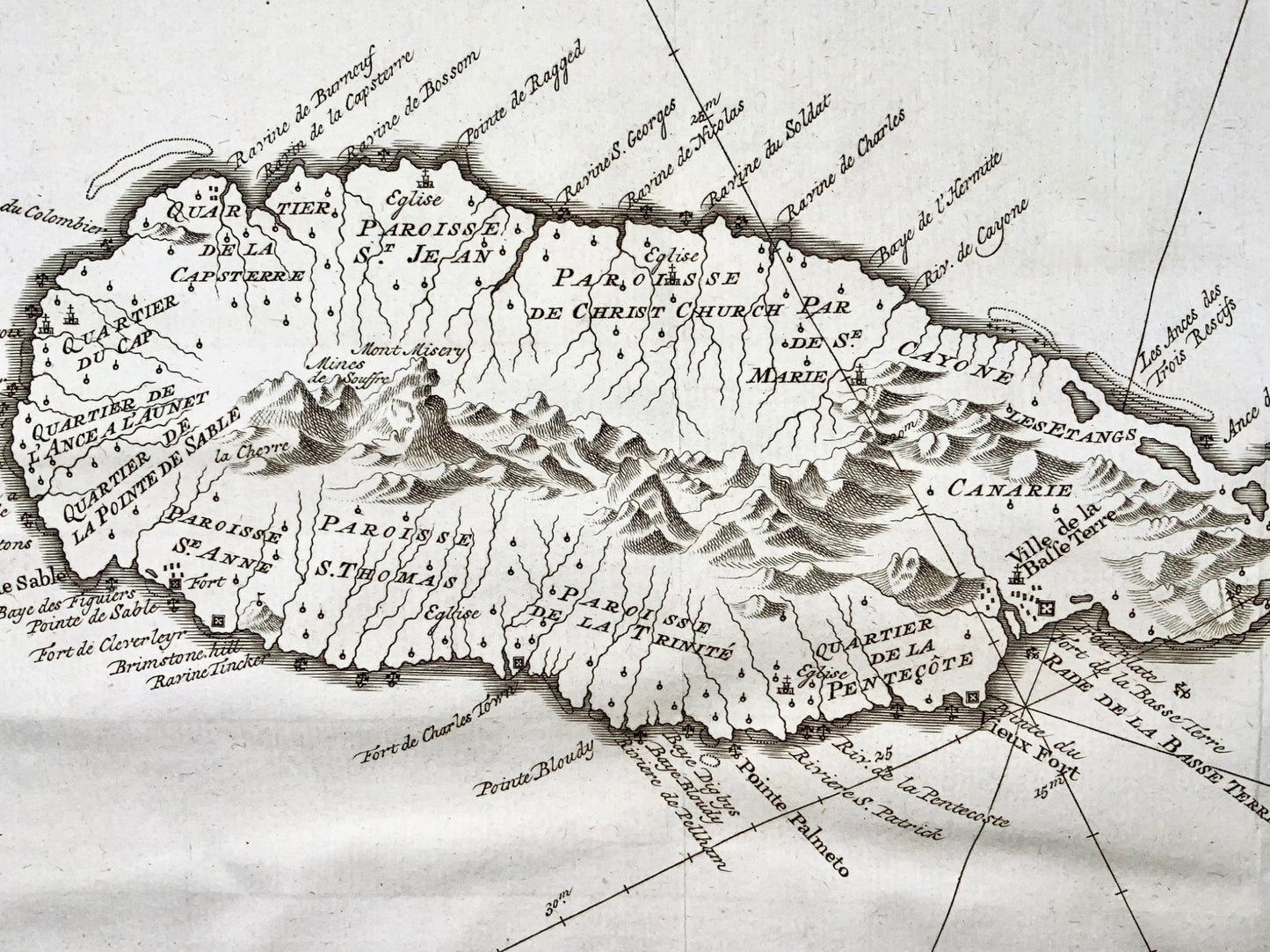
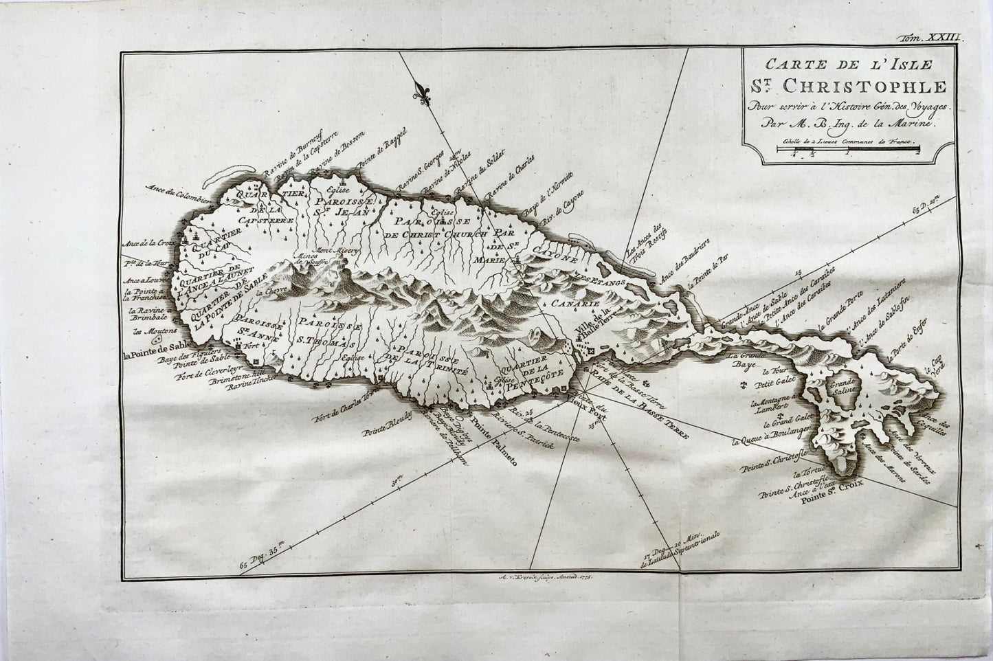
J.N. Bellin; A. V. Krevelt
"Carte de de l'Isle St. Christophe"
1776
Size:
12.6 x 8.3 inches
32 x 21.1 cm
Map of St. Kitts in the Caribbean by French hydrographer and geographer Jacques-Nicolas Bellin (1703-1772), who produced a prodigious body of work over a nearly fifty-year career. Appointed hydrographer of the French Navy at the age of eighteen, he eventually became Hydrographer to the King in 1741.
Excellent condition. Folds as issued.
Partager

Abonnez-vous à nos emails
Abonnez-vous à notre liste de diffusion pour recevoir des informations privilégiées, des lancements de produits et bien plus encore.