

1
/
de
2
1758 Map of Courantyne River, Guyana & Suriname, Krevelt
1758 Map of Courantyne River, Guyana & Suriname, Krevelt
Prix habituel
CHF 71.00
Prix habituel
Prix promotionnel
CHF 71.00
Prix unitaire
/
par
Taxes incluses.
Frais d'expédition calculés à l'étape de paiement.
Impossible de charger la disponibilité du service de retrait
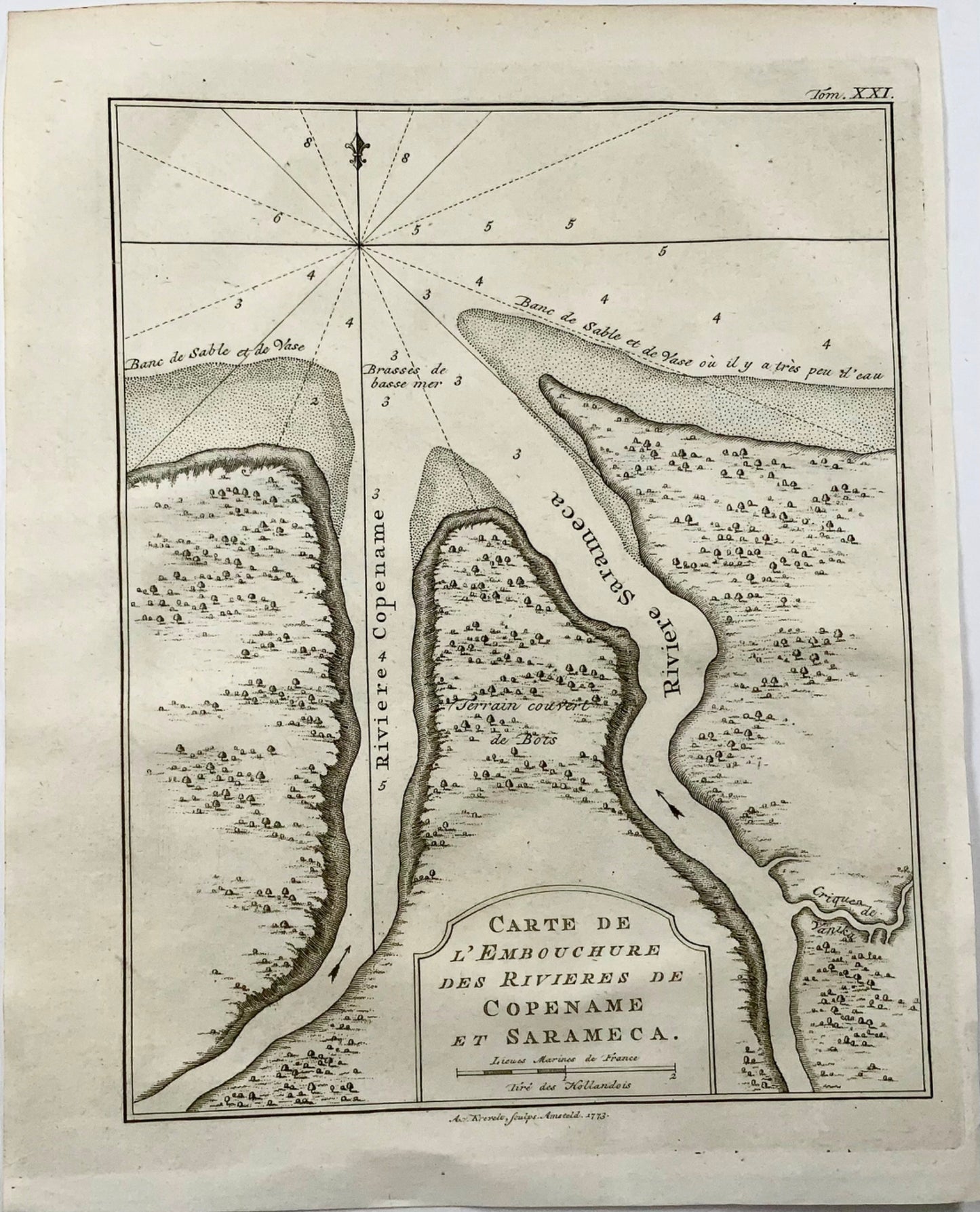
Krevelt, Abram van
‘Carte de l'Embouchure des Rivieres de Copename et Sarameca'
Published 1764.
Overall dimensions: 25 x 19.8 cm
A small but detailed chart of the mouth of the modern Courantyne River, which marks the border between Guyana, formerly British Guiana and Suriname.
Partager

Abonnez-vous à nos emails
Abonnez-vous à notre liste de diffusion pour recevoir des informations privilégiées, des lancements de produits et bien plus encore.