

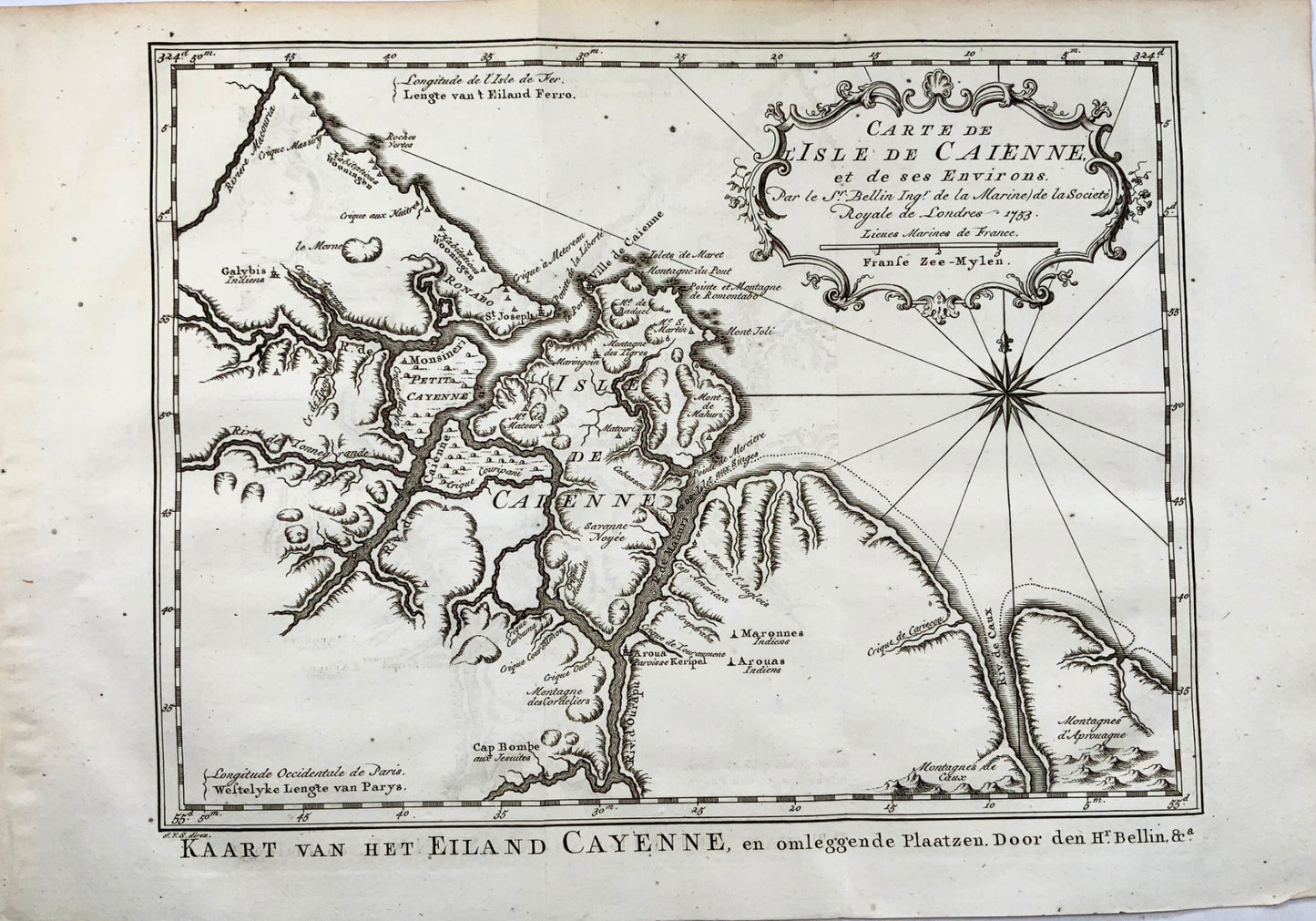
1753 N. Bellin, map of Cayenne Island, French Guyana
1753 N. Bellin, map of Cayenne Island, French Guyana
Impossible de charger la disponibilité du service de retrait
J. Van Schley
"Carte de l'Isle de Caienne."
25 x 36.6 cm
Folds as issued.
Bellin was appointed hydrographer (chief cartographer) to the French navy upon the creation of France's hydrographic office, the Dépôt des cartes et plans de la Marine. As befits a maritime chart, all place names and general information is coastal, and there is no real attempt to engrave anything of note inland of the coastal areas. Over a 50-year career, he produced a large number of maps and charts. The accuracy of Bellin's charts ensured that they were in use for many years.
Very good condition.
Partager

Abonnez-vous à nos emails
Abonnez-vous à notre liste de diffusion pour recevoir des informations privilégiées, des lancements de produits et bien plus encore.