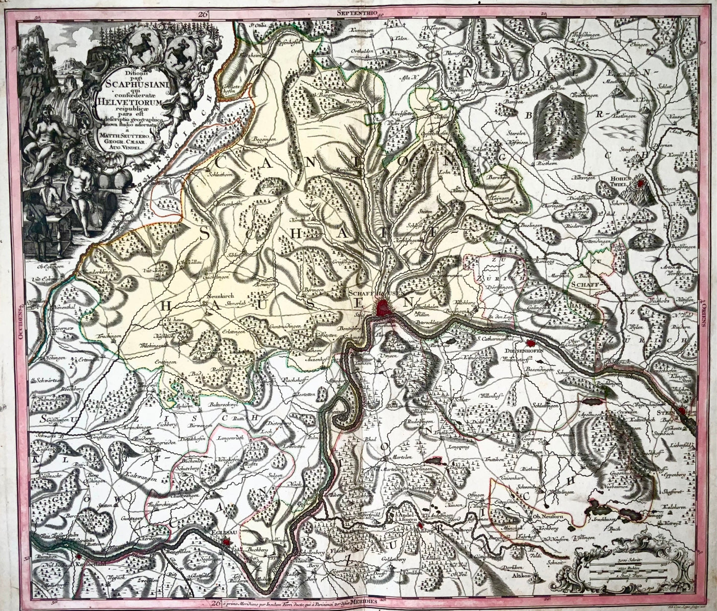
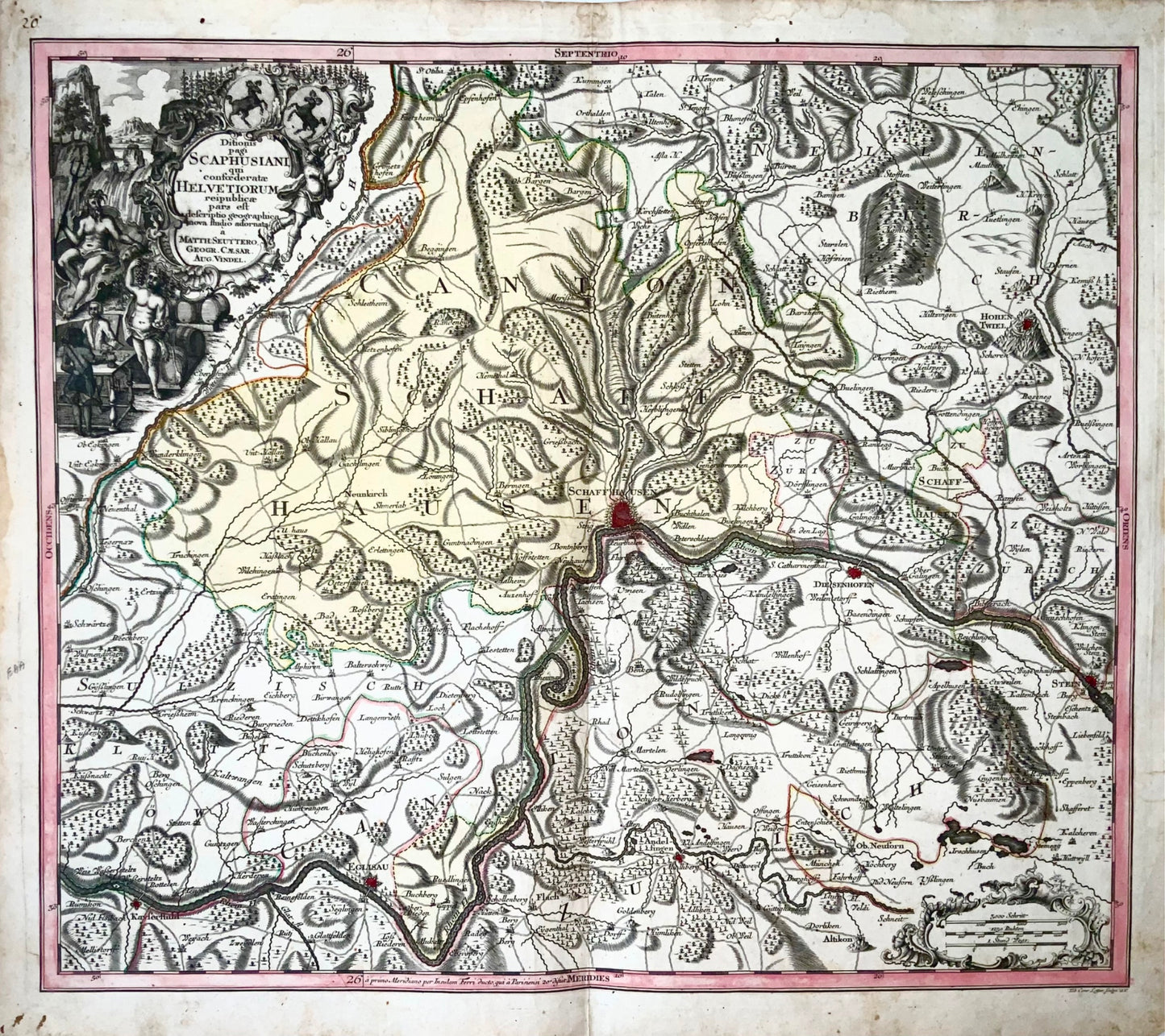
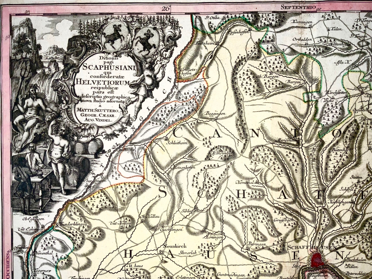
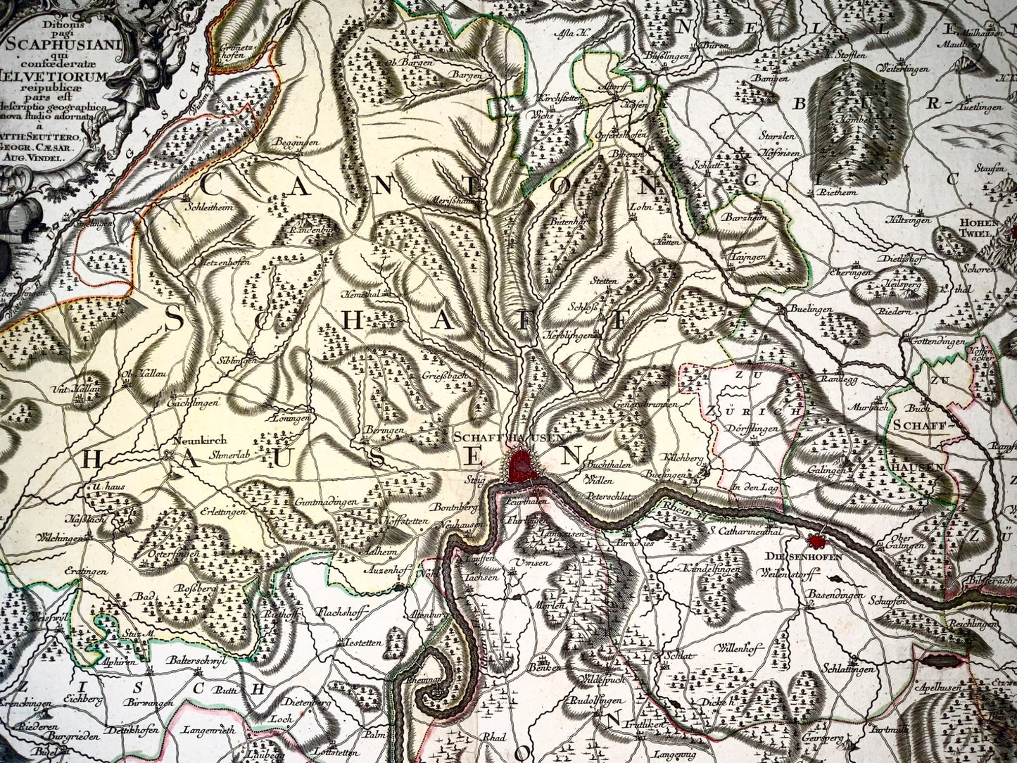
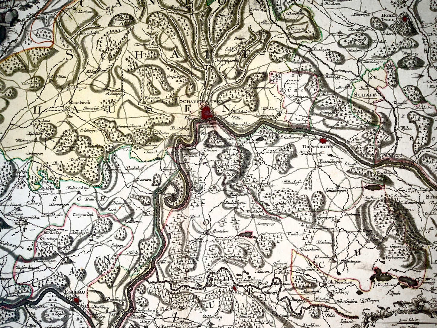
«Ditionis pagi Scaphusiani qui confoederatae Helvetiorum reipublicae pars est descriptio geographica nova studio adornat»
Regional map centred on Schaffhausen, engraving with original hand-colouring, sheet 530 x 640 mm [ includes margins ]; (20 7/8 x 25 1/4 in), central vertical fold.
Published ca 1750
Top left a cartouche with the Rhine Falls and the coat of arms of Schaffhausen. Engraved by Tobias Conrad Lotter.
Matthäus Seutter (1678-1757) was an important German map maker in the middle of the 18th century. Initially apprenticed to a brewer, he trained as an engraver with Johann Baptist Homann in Nuremberg before settling in his hometown of Augsburg. In 1727 he received the title of Imperial Geographer. His best known work is the Atlas Novus Sive Tabulae Geographicae, published in two volumes around 1730, although most of his maps are based on earlier work by cartographers such as Homann, Delisles and de Fer.