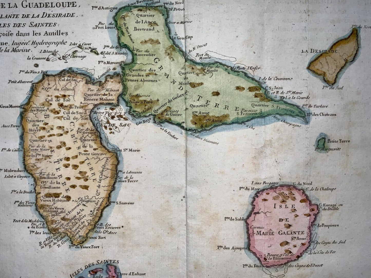
"L’Isle De La Martinique; Isles De La Guadeloupe..."
From Bonne's Atlas de toutes les parties connues du Globe Terrestre. Paris, 1780.
Size: 15 1/2in x 10in (395mm x 255mm)
Engraving.
This fine original copper plate engraved antique map of Caribbean Islands of Guadeloupe & Martinique by Rigobert Bonne was published in the 1780 edition of Atlas des toutes les parties connues du globe terrestre by Guillaume Raynal.
Very good condition. Minor spotting and staining to outer margin.