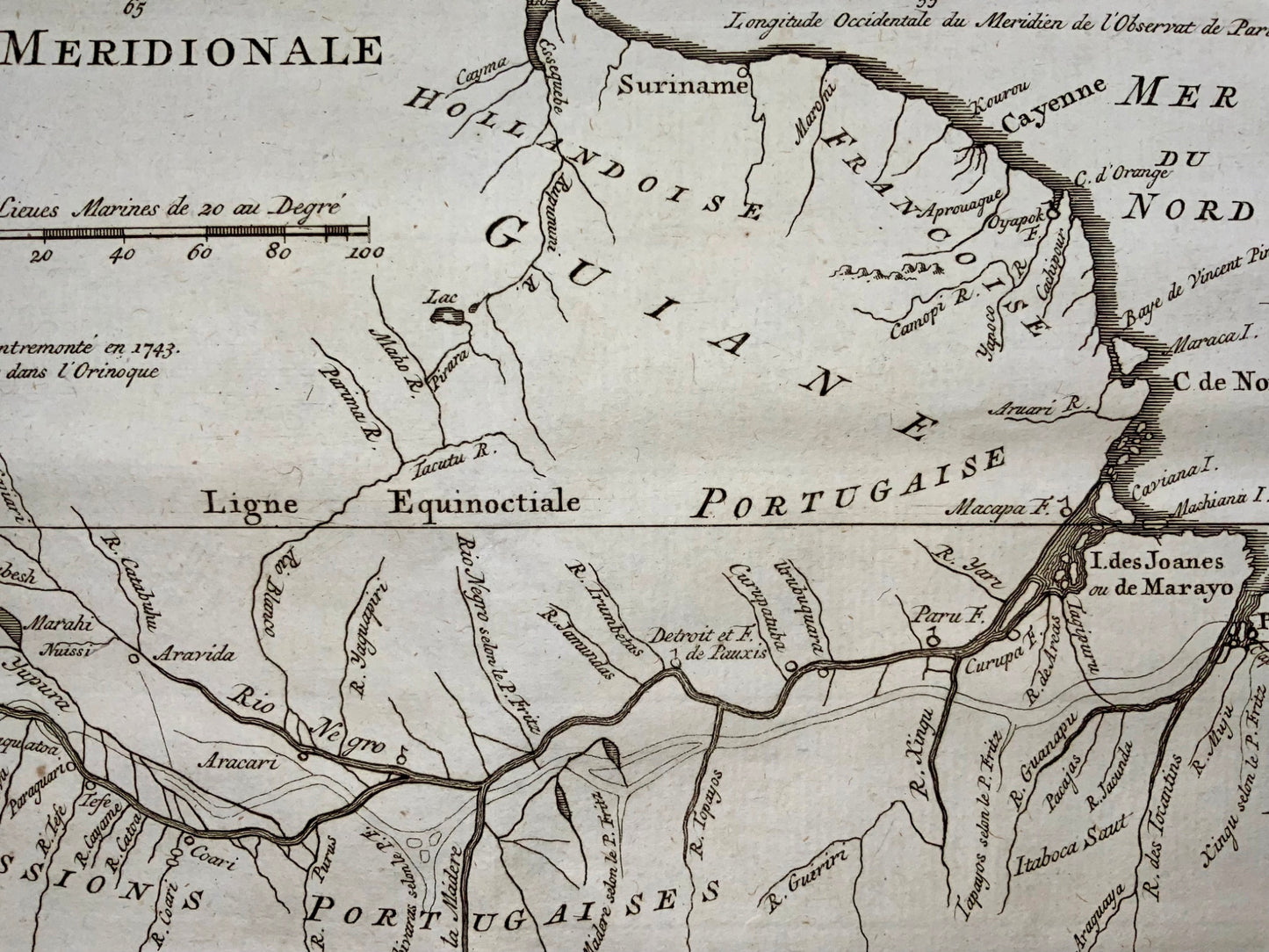
1772 Condamine, Map of the Amazon River, South America
1772 Condamine, Map of the Amazon River, South America
Couldn't load pickup availability
Charles Marie de la Condamine
Carte Du Cours Du Maragnon ou de la Grande Riviere Des Amazones…Levee en 1743 et 1744….par M. de la Conaemine…
Overall size: 24 x 42 cm
Fine Map of the Amazon River From the Exciting La Condamine Expedition
Detailed regional map, showing the course of the Amazon River from the Andes to the Atlantic. It was originally drawn by Charles Marie de la Condamine, a French savant who journeyed to South America to measure the arc of the meridian and returned to the Atlantic via the Amazon.
The map shows the northern section of South America, which is today comprised of Peru, Ecuador, Colombia, Venezuela, Brazil, Guyana, Suriname, and French Guiana. Here, the main political units are Brazil, held by the Portuguese; Guiane, which is split between Dutch and French control; and the Spanish and Portuguese missions in north-central and northwest South America. These missions were run principally by the Jesuit order.
The main focus is the Amazon River and its tributaries. Overlaying the map is another, phantom river. This is the outline of the most famous map of the Amazon River to precede this example. It was printed in Quito in 1707, the first map to be printed there. The author was Father Samuel Fritz, a Jesuit missionary, who is referenced in several notes on this map.
This map chronicles one of the most interesting exploration expeditions to the Amazon. It was based on la Condamine’s important map and appeared in a bestselling and prominent travel collection. It would make an impactful addition to any collection of South America or Amazon maps.
Reference: Neil Safier, Measuring the New World: Enlightenment Science and South America (Chicago: University of Chicago Press).
Share


Subscribe to our emails
Subscribe to our mailing list for insider news, product launches, and more.


