Skip to product information
1 of 3

Daniel Good Rare Books and Engravings

1776 A. Krevelt, Bellin, Carte de St. Cristophle, St. Kitts, map

1776 A. Krevelt, Bellin, Carte de St. Cristophle, St. Kitts, map

Regular price 1.566,00 NOK
Regular price Sale price 1.566,00 NOK
Sale Sold out
Tax included. Shipping calculated at checkout.

J.N. Bellin; A. V. Krevelt

"Carte de de l'Isle St. Christophe"

1776

Size:

12.6 x 8.3 inches

32 x 21.1 cm

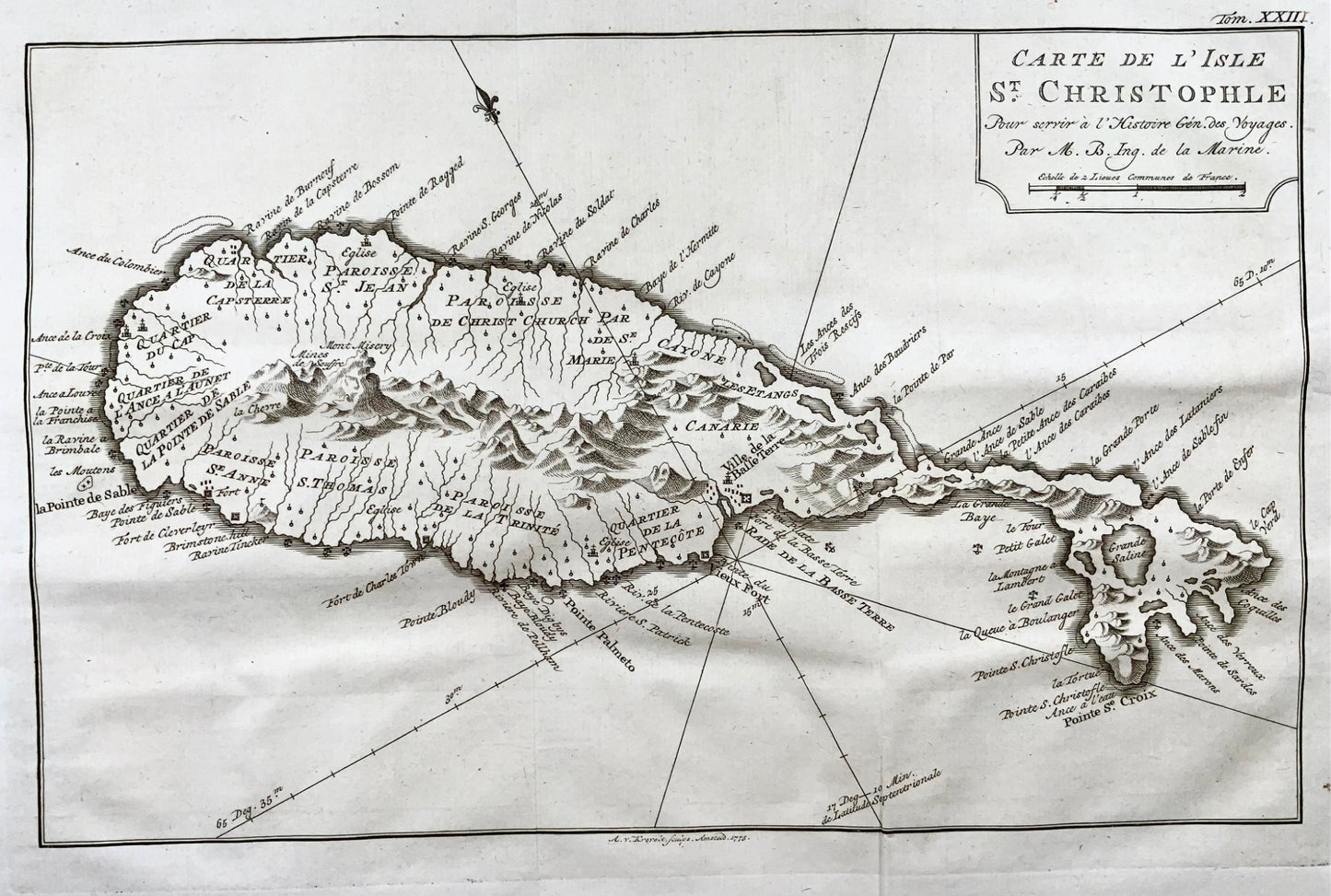
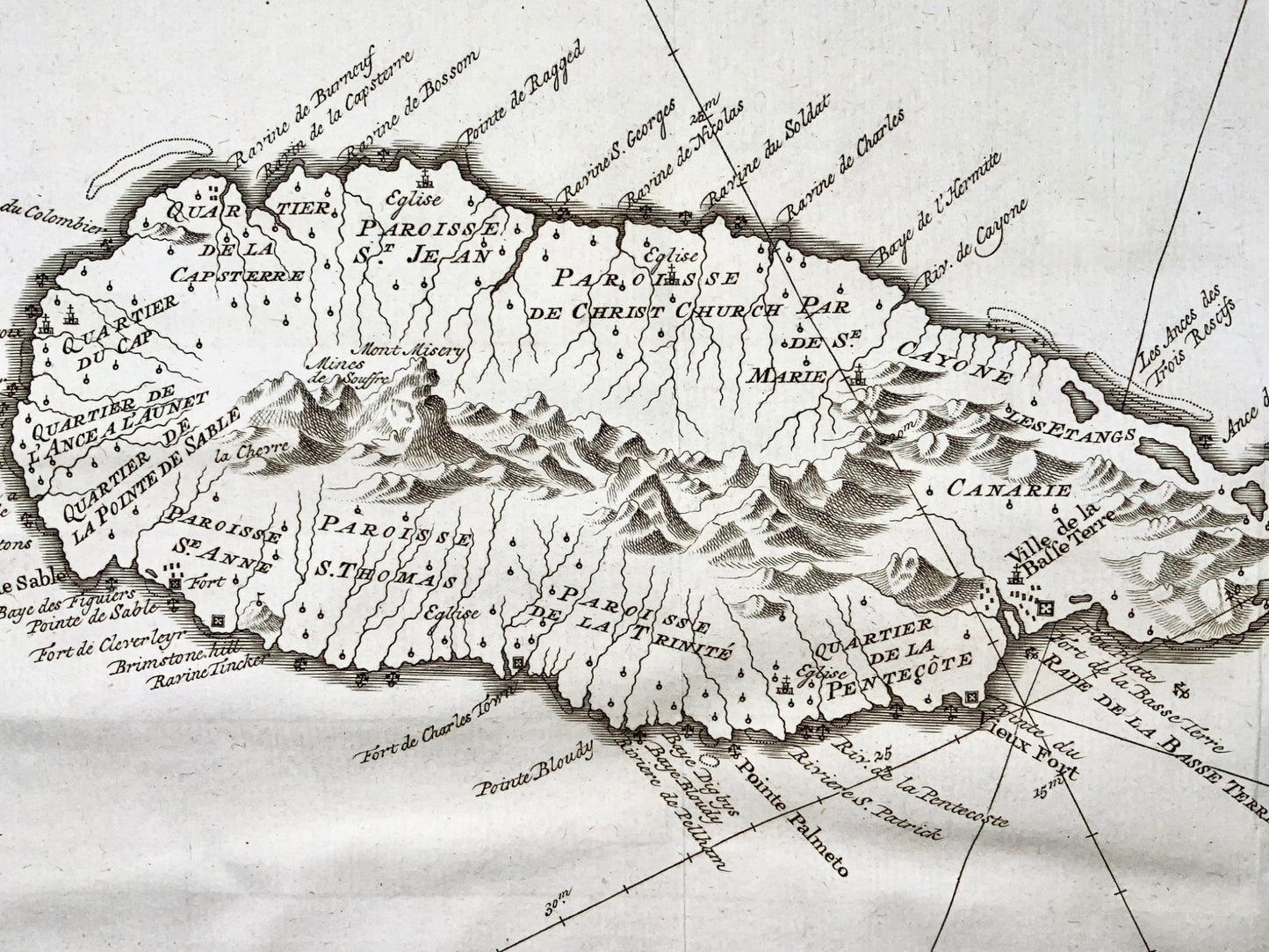
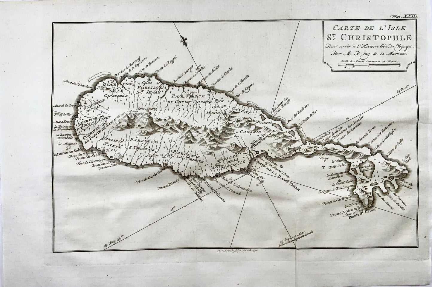
Map of St. Kitts in the Caribbean by French hydrographer and geographer Jacques-Nicolas Bellin (1703-1772), who produced a prodigious body of work over a nearly fifty-year career. Appointed hydrographer of the French Navy at the age of eighteen, he eventually became Hydrographer to the King in 1741.

Excellent condition. Folds as issued.

View full details