1770c Jakob van der Schley, antique map of Java
1770c Jakob van der Schley, antique map of Java
Regular price
2.418,00 NOK
Regular price
Sale price
2.418,00 NOK
Unit price
per
Taxes included.
Shipping calculated at checkout.
Couldn't load pickup availability
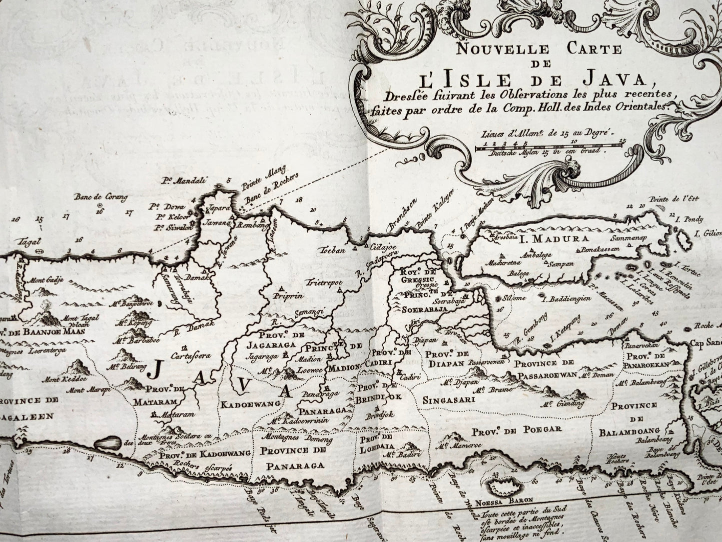
Jakob van der Schley
'Nouvelle Carte de l'Isle de Java - Nieuwe kaart, van het Eiland Java'
Sheet: 25 x 50 cm
Folds as issued.
Chart of the island of Java, depicting soundings around the coast, all principal harbors, rivers and elevations, bays and points, settlements and provinces. Included are Madura, Bali, Sunda Strait and the southeastern tip of Sumatra. This map originates from the Dutch edition of 'Histoire generale des voyages, ou nouvelle collection de toutes les relations de voyages (..)'.
Small age spot. Misfolds to one fold (see images).