Skip to product information
1 of 4

1840c Rare detailed map of Central Switzerland, hand coloured

1840c Rare detailed map of Central Switzerland, hand coloured

Regular price 667,00 DKK
Regular price Sale price 667,00 DKK
Sale Sold out
Taxes included. Shipping calculated at checkout.

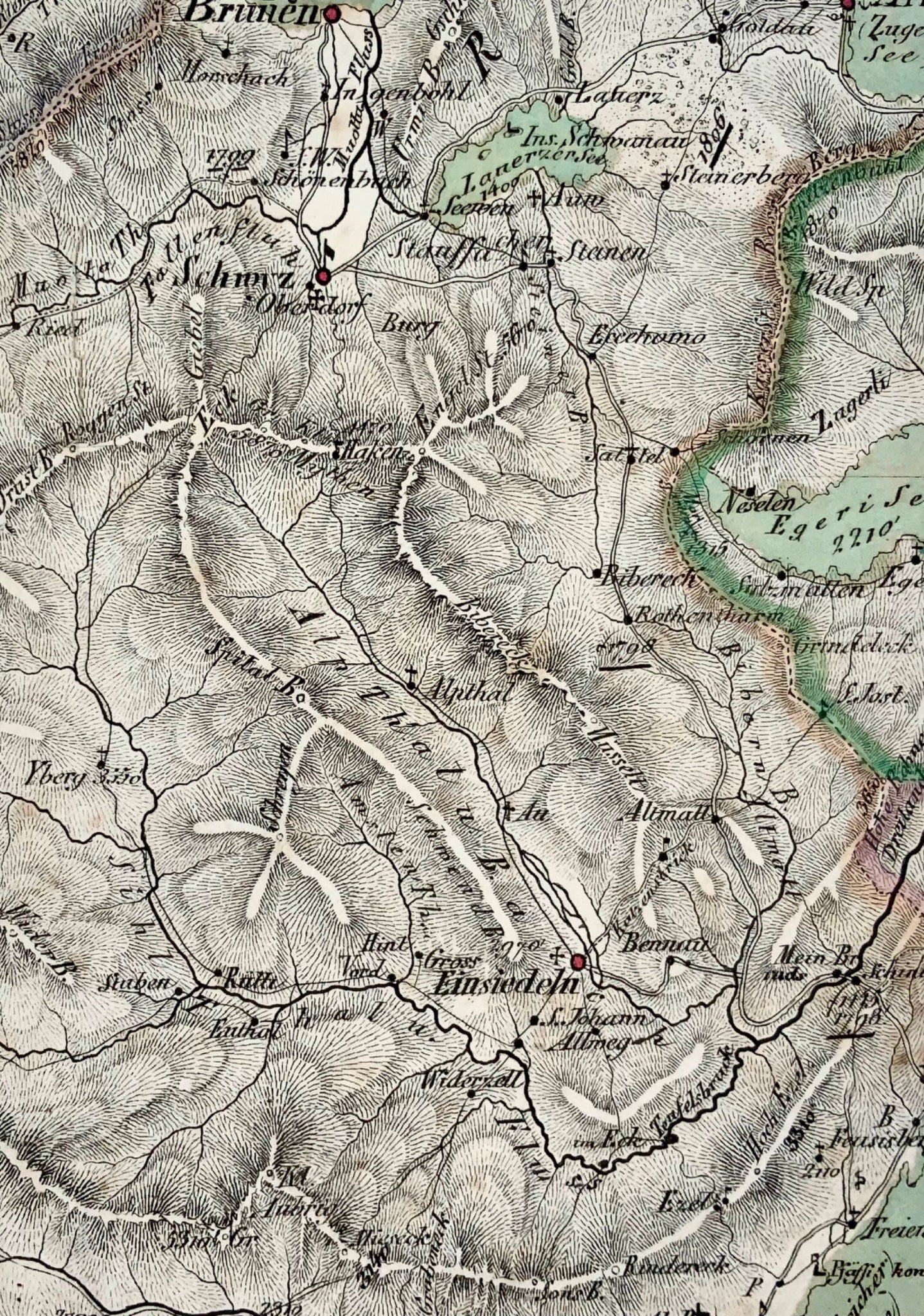
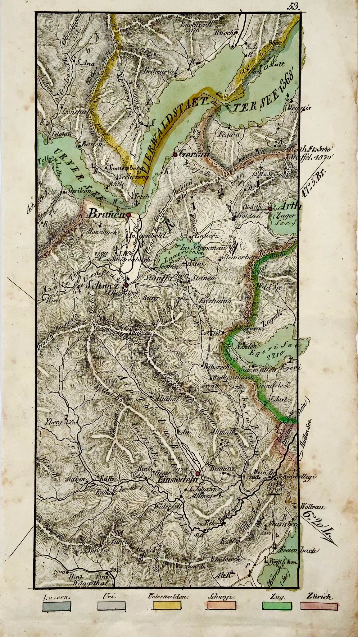
Covers the Lake of Luzern in the North, Brunnen, Arth, Schwyz and Einsiedeln in the south.

Time-wise this very detailed topographical map can be placed bewteen the great Atlases of Weiss and Dufour, although we have been unable to attribute its author.

22 x 12.2

Lithographed, hand coloured.

Published ca 1840. 

View full details