1780 Map of northeastern South America, depicting Guyana (Guyane), Bonne,
1780 Map of northeastern South America, depicting Guyana (Guyane), Bonne,
Couldn't load pickup availability
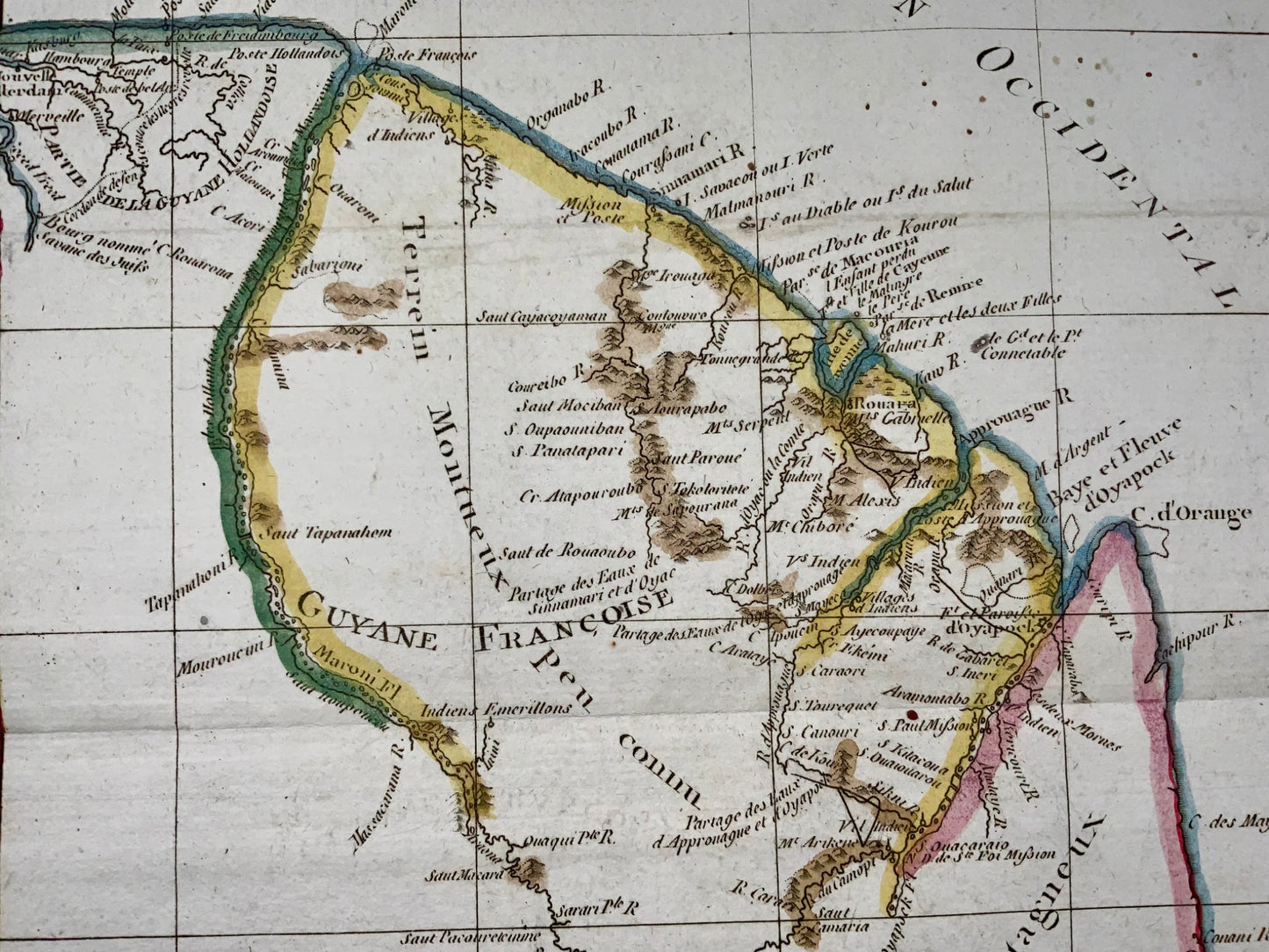
A fine example of Rigobert Bonne and Guilleme Raynal’s 1780 map of northeastern South America, depicting Guyana (Guyane).
La Guyane Francoise Avec Partie De La Guyane Hollandoise
1780 (undated)
13 x 9 in (33.02 x 22.86 cm)
While inland information is minimal, trading settlements and missions along both the Maroni River and the Tammouri are noted. Names numerous American Indian tribes and villages throughout. Additionally names Fort Oyapoque, modern day Oiapoque, and major cities, such as Paramibo, the present day capital of Suriname. Drawn by R. Bonne for G. Raynal’s Atlas de Toutes les Parties Connues du Globe Terrestre, Dressé pour l'Histoire Philosophique et Politique des Établissemens et du Commerce des Européens dans les Deux Indes .

Share


Subscribe to our emails
Subscribe to our mailing list for insider news, product launches, and more.


