Graphic: FREE TRACKED DELIVERY to the United Kingdom
Couldn't load pickup availability
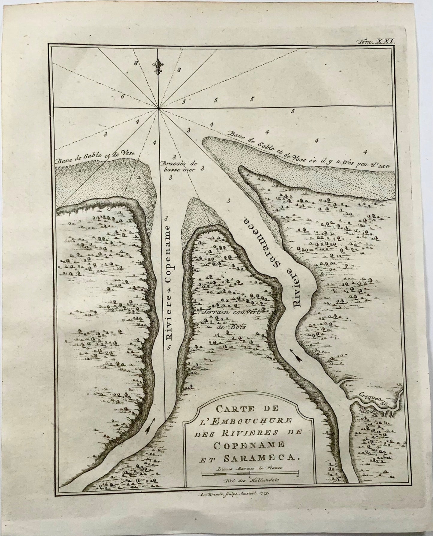
Krevelt, Abram van
‘Carte de l'Embouchure des Rivieres de Copename et Sarameca'
Published 1764.
Overall dimensions: 25 x 19.8 cm
A small but detailed chart of the mouth of the modern Courantyne River, which marks the border between Guyana, formerly British Guiana and Suriname.
Subscribe to our mailing list for insider news, product launches, and more.