1757 India Kollam (Coylan) - J van der Schley, map, plan
1757 India Kollam (Coylan) - J van der Schley, map, plan
Regular price
805,00 DKK
Regular price
Sale price
805,00 DKK
Unit price
per
Taxes included.
Shipping calculated at checkout.
Couldn't load pickup availability
Jakob van der Schley
Sheet: 25.2 x 36 cm
Folds as issued.
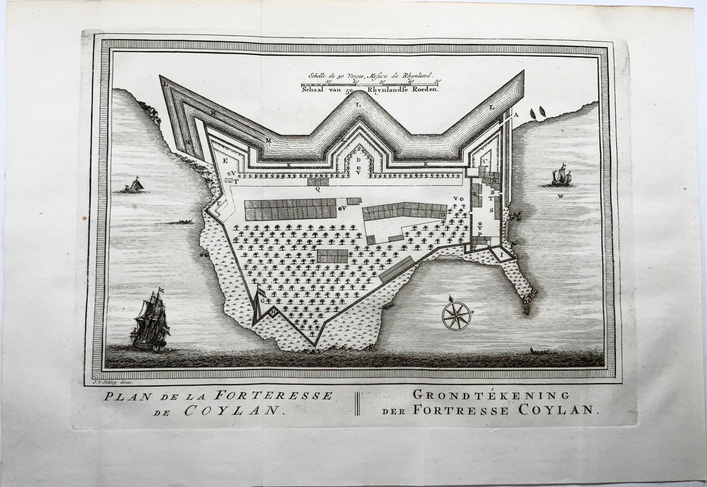
Map of Kollam, formerly Coylan, in India. From 1661 to 1795, the town was in the hands of the Dutch East India Company (VOC).
French and Dutch title below the map; scale bar at the top; a compass rose in the sea. Vertebral column blank.
Copper engraving by Jacobus van der Schley after Jacques Nicolas Bellin. Published between 1747 and 1767 in The Hague by Pieter de Hondt in L'Histoire générale des voyages , Antoine François Prévost.
Fine antique original map.