1
/
of
2
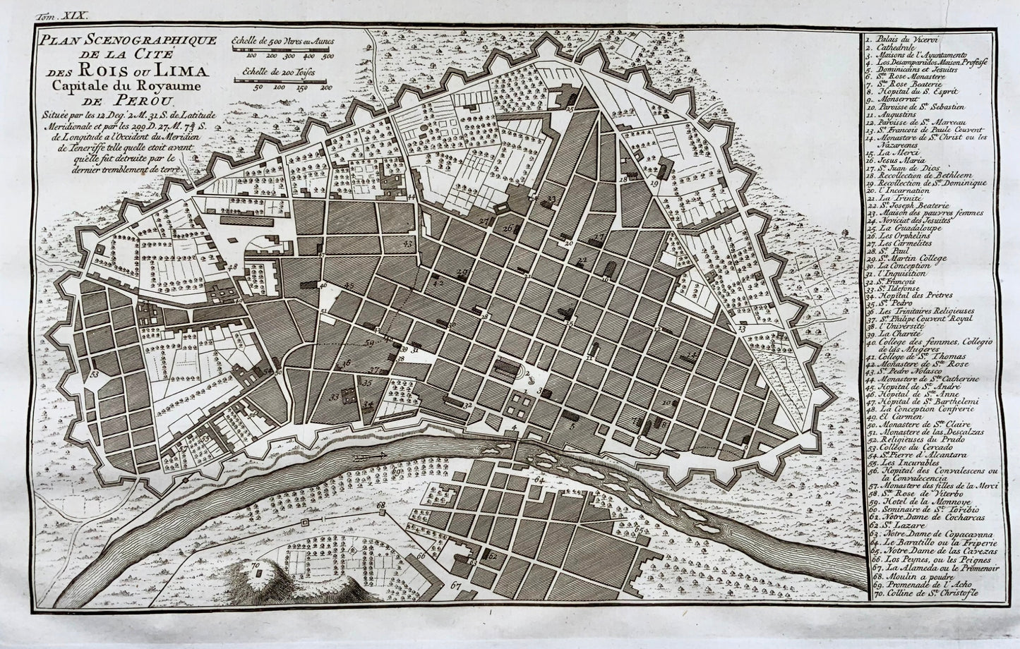
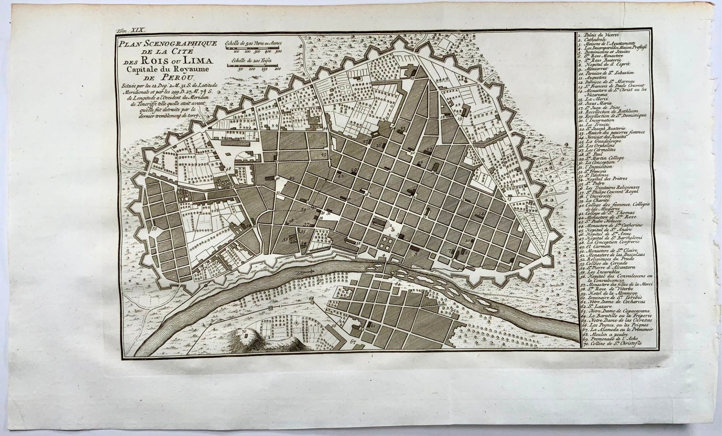
1751 City map of Lima before great earthquake, Peru
1751 City map of Lima before great earthquake, Peru
Regular price
$354.00 AUD
Regular price
Sale price
$354.00 AUD
Unit price
/
per
Taxes included.
Shipping calculated at checkout.
Couldn't load pickup availability
Jacques-Nicolas Bellin
Plan Scenographique de la Cite des Rois ou Lima, Capitale du Royaume de Perou
Size: 21 x 34 cm
Plan of Lima showing the city as it appeared before its destruction by the great earthquake of 1746. An index of important buildings is included on the right.
Bellin, Jacques Nicolas "Plan de la Baye et Ville de Portobelo en 1736" Size: 12.9 x 7.5 inches 32.8 x 19.1 cm This attractive chart shows Portobelo, the important Spanish port city on the northern coast of Panama. Numerous soundings are located and a key at right identifies important locations. The chart is surrounded by a boldly engraved border. Not in Kapp's carto-bibliography of Panama.
Share


Subscribe to our emails
Subscribe to our mailing list for insider news, product launches, and more.

